Preserving memory, culture and landscapes
PROJECT TITLE
Transhumant Trails: Arriero Heritage Mapping
NAME OF ORGANISATION
Madrugada NGO’s
Snapshot
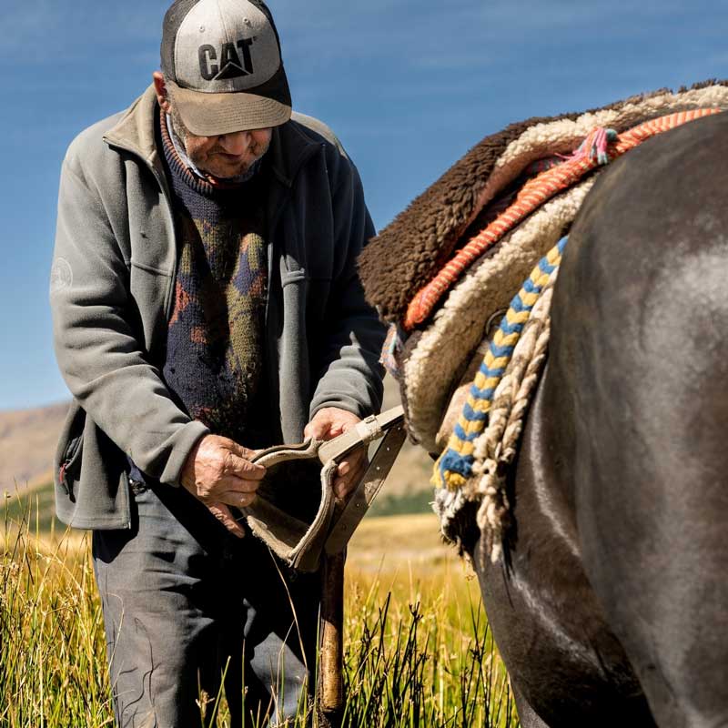
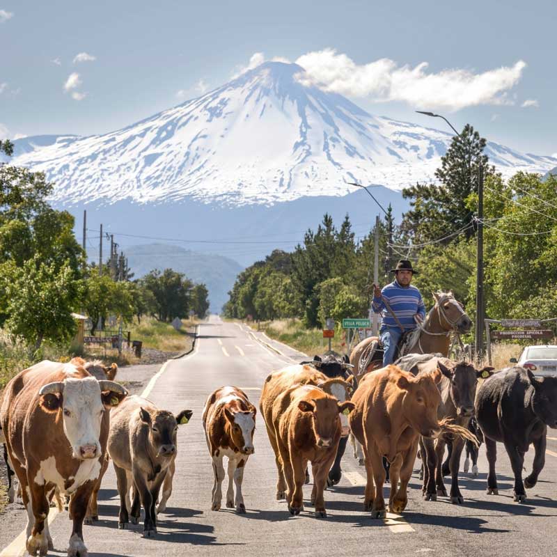
The project “Transhumant Trail: Arriero Heritage Mapping” proposes the creation of a digital and accessible map that records traditional arriero (muleteer) trails located in the southern Andes of Chile. These are historical highland routes used for generations by transhumant muleteers – men and women who lead livestock between valleys and mountain passes – now at risk of disappearing due to rural abandonment, climate change, and lack of institutional recognition.
This initiative links mountaineering with traditional knowledge by recognizing that walking, traversing, and inhabiting the land are essential practices for preserving memory, culture, and landscapes.
View of MPA Assessor
The proposed project sits at a really interesting juncture – that of traditional ways of knowing a mountain landscape and using this knowledge to inform how mountain sports practitioners move through the land. Where this project shines is in sustainability and biodiversity protection – also in education. The position Madrugada NGO’s takes, especially with Indigenous ways of knowing a mountain landscape, is very forward thinking, innovative, and well worth.
Project Objectives and Vision
The Transhumant Trail: Arriero Heritage Mapping project is a proposed concept and will start in January 2026 with a proposed end in June of the same year. Its implementation is envisioned in the Biological Corridor Huemules de Niblinto, in the Andes Mountains of Chile. Through the creation of a digital and accessible map (.kmz format) that record traditional arriero (muleteer) trails, the project aims to preserve said trails which are now at risk of disappearing due to rural abandonment, climate change, and lack of institutional recognition
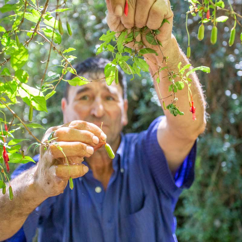
Through geolocation and collaborative mapping, the project aims not only to register physical coordinates, but also the stories, names, affections, and wisdom embedded in these trails. In this sense, the map becomes a living tool for intergenerational transmission and a device for safeguarding mountain heritage.
Transhumant Trail: Arriero Heritage Mapping promotes a respectful and responsible use of natural environments through simple, low-tech, and replicable methods, encouraging access to the mountains from a community-based and educational perspective. It includes the identification of climbing routes, high mountain passes, and ancient natural shelters – all integrated into a shared cartographic system alongside oral histories and cultural elements.
Its connection to mountain sports lies in the opportunity to reactivate these trails for hikers, climbers, and mountaineers seeking sustainable and culturally meaningful experiences. Beyond conventional tourism, it proposes an immersion into lifeways that honour the rhythm of nature and view the mountain as a sacred, inhabited, and shared space.
Inspired by the principle of “walking while asking” (a concept rooted in dialogical and collective knowledge-making), the project does not impose a single narrative but is built through dialogue with local communities. It promotes an ethic of care, respect for ancestral knowledge, and affective connection with the landscape. In doing so, it offers an ethical, aesthetic, and sustainable alternative for engaging with mountain environments, while strengthening the cultural fabric that sustains them.
By bridging ancestral trails with contemporary geolocation tools and outdoor sports, this project not only helps protect endangered paths but also revitalizes community-mountain relationships—contributing to a future where mountains are both explored and respected.
The aim is to safeguard not only the high mountain ecosystems, but also the traditional ways of traveling, inhabiting, and knowing these territories – integrating both local communities and the mountaineering community in a shared proposal for preservation, access, and sustainable use.
Contact Details, Discover More & Support
UIAA Mountain Protection Award Nominees