
The UIAA officially classified the 82 recognised 4000m summits in the Alps back in March 1994 following a collaboration with the Club Alpino Italiano (CAI). In the ensuing decades, a number of climbers and mountaineers have enjoyed taking on the challenge of ticking off the summits and in some cases completing them all. One of the most famous examples was Kilian Jornet who achieved the feat in a record 19 days in 2024, a subject he later discussed on the UIAA podcast Mountain Voices.
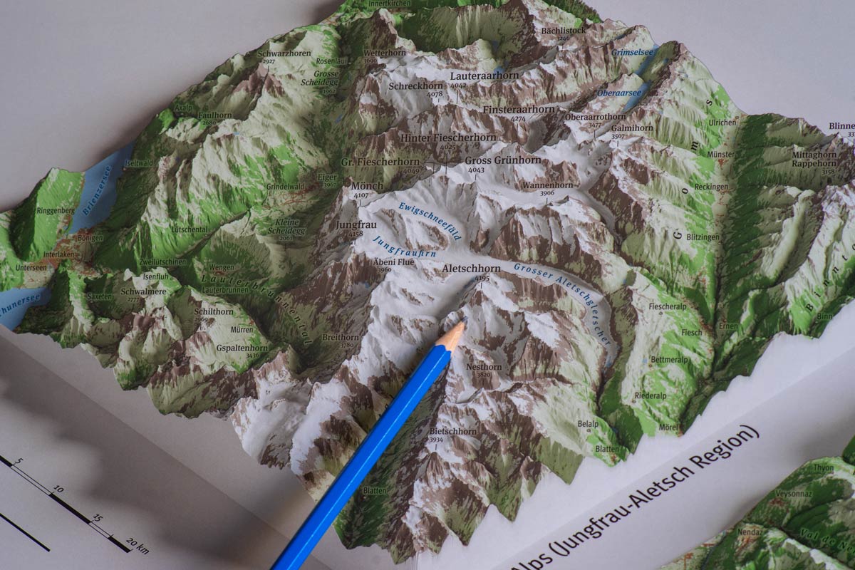
Through a collaboration with Marco Barbieri and mountaincarto.com, a dedicated map now plots the six great massifs that hold all 82 summits above 4000 metres. These are spread across the western and central Alps, from the Dauphiné to the Engadine.
A digital version of the map is now available to view on the UIAA website. An index at the bottom places each massif within the alpine arc. The result is a faithful and striking three-dimensional image.
The map is also available to purchase as a print copy from the mountaincarto.com website. As are a further six panoramic maps which portray the Mont Blanc massif, the Pennine Alps with Monte Rosa and the Matterhorn, the Bernese Alps, the Écrins massif, the Gran Paradiso and the Bernina group.
Coming Soon
The digital map is intended to be the first part of the collaboration between the UIAA, its Mountaineering Commission and MountainCarto. One potential project is the creation of a website page or app which links the map to information on each summit where climbers and mountaineers can not only submit photos but also use the tool as a means of logging and ticking off summits which have been completed. Further details will be provided early in 2027.